Total Distance (total loop): 4.5 miles
Difficulty Level: Moderate/Difficult
Climbed July 5, 1996
Weather conditions: Fair/upper 70's
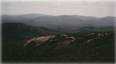
Follow Route 49 to Upper Mad River Road, turn right on Orris Road (sign for Welch Mt). This trail begins at a parking area and leads to the open summits of both mountains. It is well groomed, and marked with yellow blazes. Because of some steep ledges and several rock faces, it could be extremely difficult or hazardous in inclement weather. The trail affords excellent views from several lookouts throughout. Looking up at the summit of each mountain, the distance to each can be very deceiving (whether from the recovery area or across the wooded col) but be assured that it is well worth the effort to cross both peaks.